
Filter by
SubjectRequired
LanguageRequired
The language used throughout the course, in both instruction and assessments.
Learning ProductRequired
LevelRequired
DurationRequired
SkillsRequired
SubtitlesRequired
EducatorRequired
Results for "geospatial mapping"
 Status: NewStatus: Free Trial
Skills you'll gain: PySpark, Apache Hadoop, Apache Spark, Big Data, Apache Hive, Analytics, Data Processing, Data Mapping, Text Mining, Distributed Computing, Java, Debugging, Java Programming

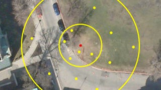
Skills you'll gain: Spatial Data Analysis, Spatial Analysis, Geographic Information Systems, Geospatial Mapping, Data Presentation, Exploratory Data Analysis, Data Mapping, Descriptive Statistics, Data Access
 Status: NewStatus: Free Trial
Skills you'll gain: JUnit, Apache Maven, Model View Controller, Unit Testing, Spring Boot, Restful API, Software Testing, Object-Relational Mapping, Java, Full-Stack Web Development, Back-End Web Development, Integration Testing, Web Applications, Front-End Web Development, Data Store, Application Security
 Status: Free Trial
University of Toronto
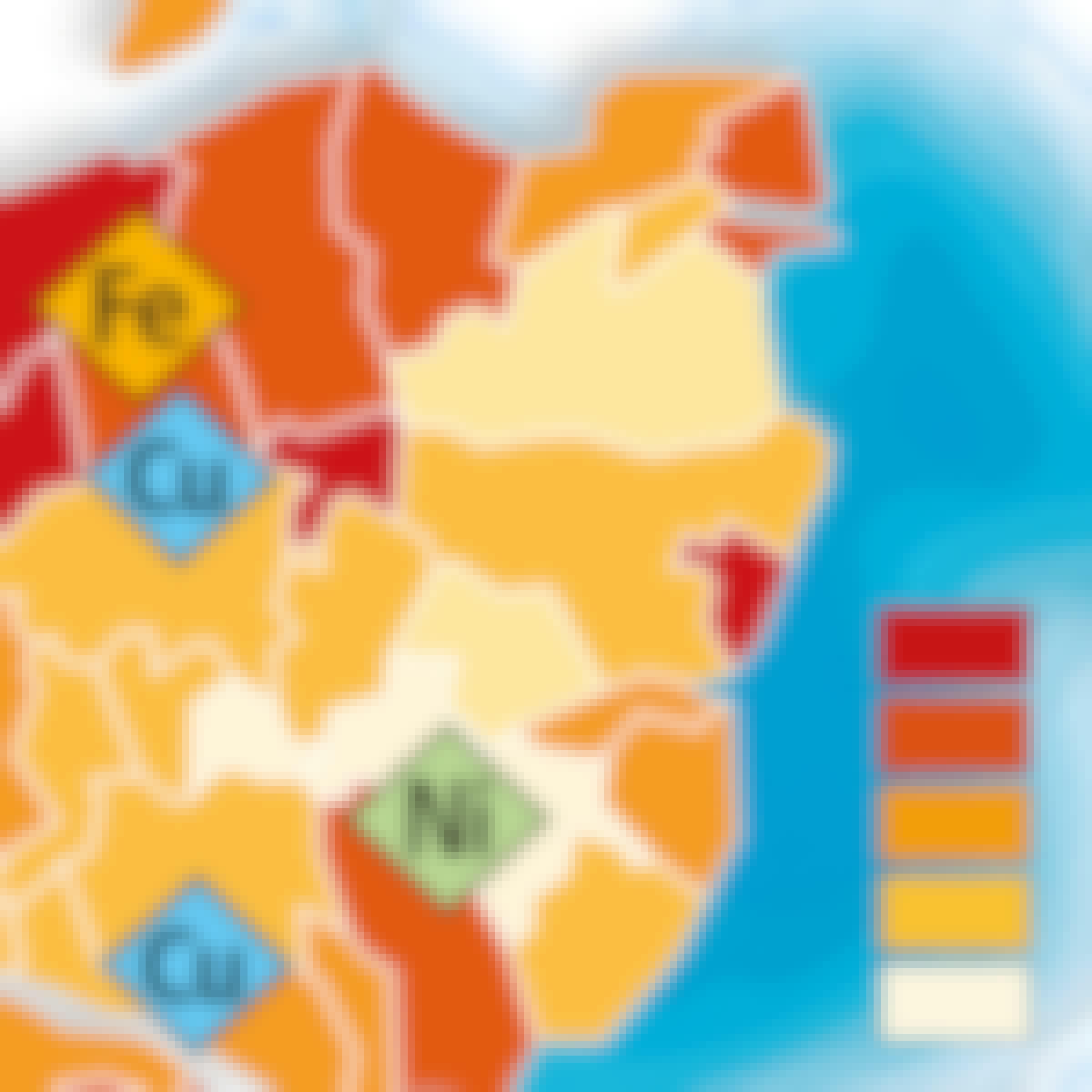
Skills you'll gain: Geographic Information Systems, Geospatial Mapping, Data Mapping, Spatial Data Analysis, Data Visualization, Metadata Management, Quantitative Research, Spatial Analysis, Typography, Data Manipulation, Data Modeling, Design Elements And Principles
 Status: Free Trial
Skills you'll gain: SAS (Software), Forecasting, Data Visualization Software, Time Series Analysis and Forecasting, Data-Driven Decision-Making, Predictive Analytics, Geospatial Mapping, Data Analysis, Geographic Information Systems, Data Manipulation, Data Transformation, Statistical Programming
 Status: NewStatus: Free Trial
Skills you'll gain: Information Architecture, UI/UX Research, Design Research, Experience Design, User Interface and User Experience (UI/UX) Design, UI/UX Strategy, Persona Development, Usability, Qualitative Research, Usability Testing, Surveys, Human Centered Design, Technical Communication, Prototyping, Tree Maps, Product Strategy, Interviewing Skills
 Status: NewStatus: Free Trial
Skills you'll gain: Restful API, Spring Boot, API Design, Spring Framework, JSON, Object-Relational Mapping, Business Logic, Data Modeling, Server Side, Software Architecture, Data Access
 Status: NewStatus: Free Trial
Skills you'll gain: Data Validation, Extract, Transform, Load, Object-Relational Mapping, Data Cleansing, Data Manipulation, Data Quality, Data Pipelines, Pandas (Python Package), Descriptive Statistics, Database Management, Data Transformation, Data Integrity, Relational Databases, Exploratory Data Analysis, Databases, Data Processing, SQL, Data Analysis, Data Storage Technologies
 Status: Free
École normale supérieure
Skills you'll gain: Statistical Visualization, Geospatial Mapping, Data Mapping, Geographic Information Systems, Graphic and Visual Design, Data Presentation, Graphics Software, Color Theory
 Status: Preview
UNSW Sydney (The University of New South Wales)
Skills you'll gain: Image Analysis, Unsupervised Learning, Geospatial Information and Technology, Computer Vision, Spatial Analysis, Machine Learning, Dimensionality Reduction, Linear Algebra, Deep Learning, Data Validation, Supervised Learning, Probability & Statistics, Artificial Neural Networks
 Status: NewStatus: Free Trial
Skills you'll gain: JSON, Restful API, JUnit, Software Quality Assurance, Application Programming Interface (API), Test Automation, Java, Data Mapping, Software Testing, Test Case
 Status: NewStatus: Free Trial
Skills you'll gain: API Design, Restful API, Application Deployment, Spring Boot, Back-End Web Development, Data Modeling, Software Architecture, Object-Relational Mapping, System Configuration, Software Design, Application Development, Java Platform Enterprise Edition (J2EE), Business Logic
In summary, here are 10 of our most popular geospatial mapping courses
- Hadoop and Spark Fundamentals: Unit 2: Pearson
- ArcGIS Desktop for Spatial Analysis: Go from Basic to Pro: Packt
- Java Spring Boot Case Study - Appointment Management System: EDUCBA
- GIS Data Acquisition and Map Design: University of Toronto
- Using Data for Geographic Mapping and Forecasting in SAS Visual Analytics: SAS
- UX Research and Information Architecture : IBM
- Project on REST API - Pet Clinic Application: EDUCBA
- Data Science Fundamentals Part 1: Unit 3: Pearson
- Cartographie thématique: École normale supérieure
- Remote Sensing Image Acquisition, Analysis and Applications: UNSW Sydney (The University of New South Wales)


