Geospatial Mapping
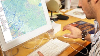
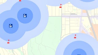
Geospatial Mapping is a technological field that uses systems, satellites, and data to capture, store, manipulate, analyze, manage and present a variety of spatial or geographical information. Coursera's Geospatial Mapping catalogue helps you understand and apply concepts in geodesy, cartography, and geoinformatics using modern tools and techniques. You'll learn about geographic information systems (GIS), remote sensing, spatial databases, geodesign, and spatial data analysis. These skills will empower you to solve complex geospatial problems and make impactful decisions in urban planning, environmental science, transportation, and more.
9credentials
38courses
Most popular
 Status: Free Trial
University of California, Davis
 Status: Free Trial
University of California, Davis
 Status: Free Trial
University of Toronto
 Status: Free Trial
University of Toronto
Trending now
- Status: Free Trial
University of California, Davis
 Status: Free Trial
Microsoft
- Status: Free Trial
University of Toronto
- Status: Free Trial
University of California, Davis
New releases
 Status: Free Trial
University of Pittsburgh
 Status: Free Trial
University of Colorado Boulder
 Status: Free Trial
 Status: Free Trial
Skillshare
Filter by
SubjectRequired
Required
LanguageRequired
Required
The language used throughout the course, in both instruction and assessments.
Learning ProductRequired
Required
Build job-relevant skills in under 2 hours with hands-on tutorials.
Learn from top instructors with graded assignments, videos, and discussion forums.
Learn a new tool or skill in an interactive, hands-on environment.
Get in-depth knowledge of a subject by completing a series of courses and projects.
LevelRequired
Required
DurationRequired
Required
SubtitlesRequired
Required
EducatorRequired
Required
Results for "geospatial mapping"
Sort by: Best Match


